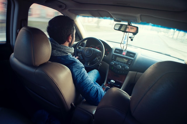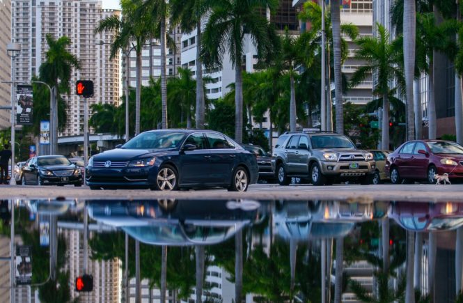
As a new condo owner in Miami’s Brickell neighborhood, I spend a lot of time walking and biking the streets between going to karaoke bars and sipping $10 lattes. And just like Wynwood, the infrastructure hasn’t kept up with private investment. The sidewalks are too narrow, the bike lanes are too limited, the streets are too wide, the traffic is too fast, and the coffee is too expensive. There’s not much we can do about the coffee, but there is a lot we can do about the streets.
As the densest neighborhood in the U.S. outside of NYC, and the most transit accessible neighborhood in Florida, Brickell’s streets need to focus less on moving cars and more on moving people. Driving in the neighborhood is becoming increasingly NYC-esque and there’s no more space to widen roads. Without sugar coating things, here’s my quick list of street improvements which should be completed to turn Brickell into one of the best urban neighborhoods in the world.
- Brickell needs more roundabouts. Roundabouts are proven to reduce traffic fatalities, slow traffic down, and are generally pedestrian/bike friendly if designed correctly. Sarasota successfully placed them throughout their downtown and they look and function great. Brickell roundabout candidates should include the intersections of Brickell Ave. and SW 15th Rd., SE 13th St and S. Miami Ave., SE 13th St. and Brickell Ave. and Tamiami Trail and Brickell Ave.
- SW 2nd Ave. should function as a local street. This means installing stop signs/signals, and east-west crosswalks. I’ve witnessed many near misses between drivers and pedestrians trying to cross SW 2nd due to a lack of traffic control devices and crosswalks. The existing RRFB just isn’t enough. Through traffic should only be relegated to I-95 and Brickell Ave. Every other street in the neighborhood should be prioritized for slower, local traffic.
- The Brickell Metro stop. It’s baffling how there isn’t a stop sign or signal adjacent to the station on SW 1st Ave. Every day I see people dodge traffic to get to and from the station.
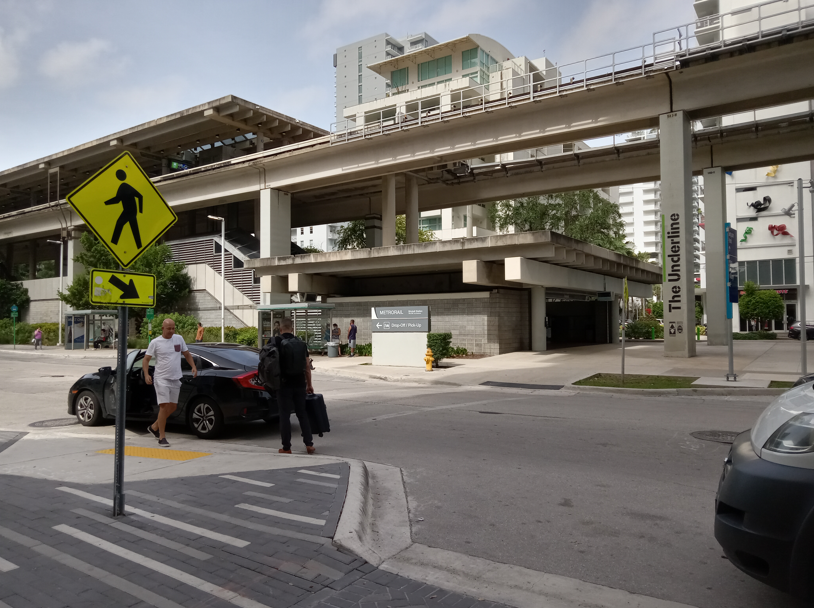
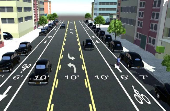
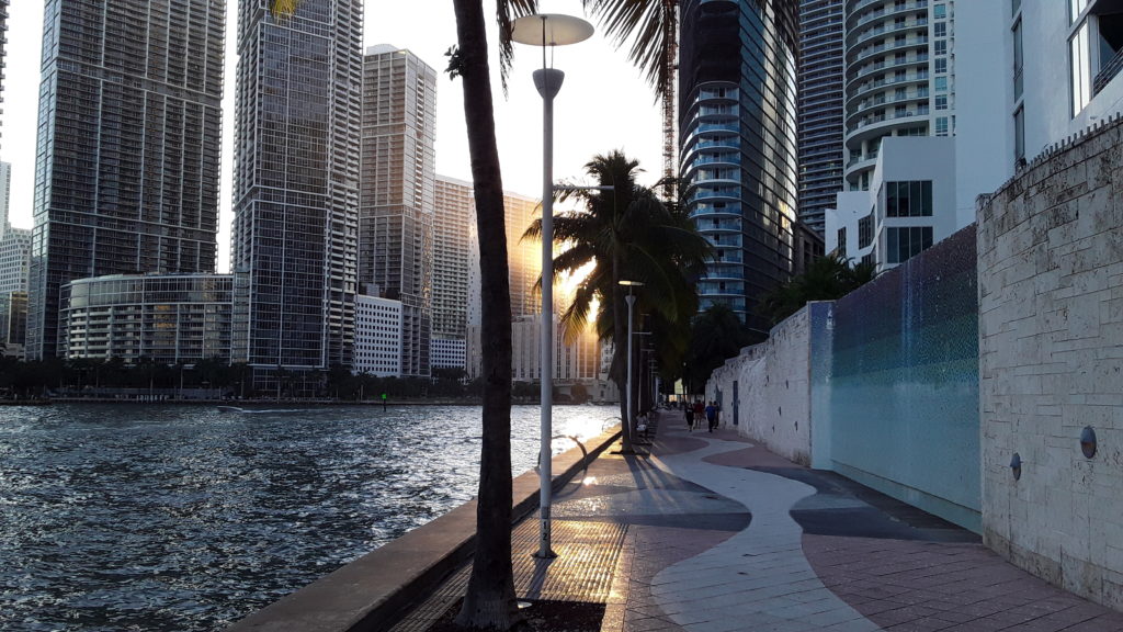
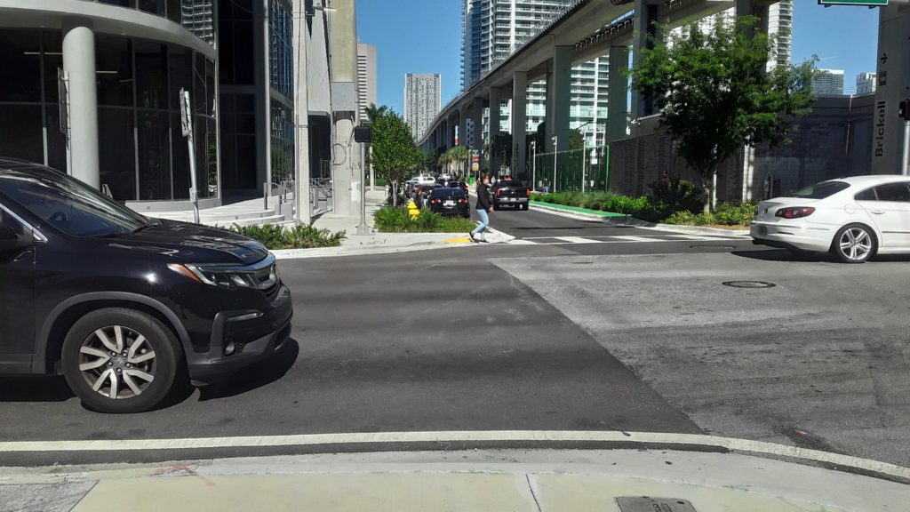
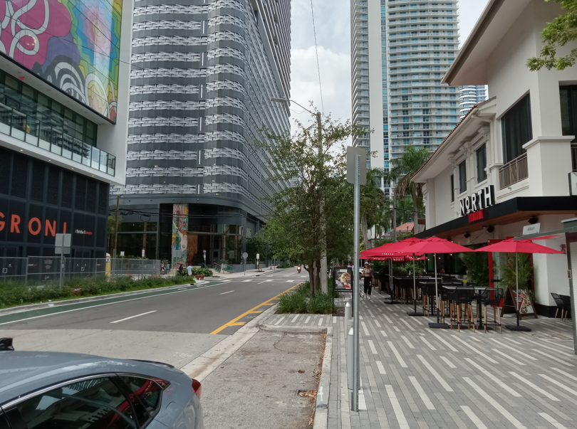
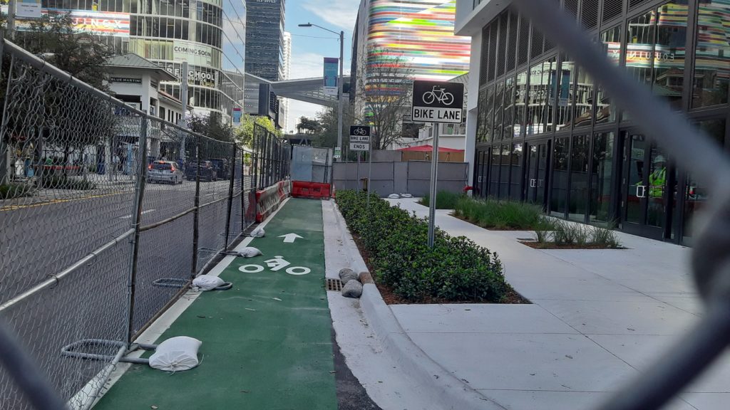
- Brickell is probably Miami’s least bikable neighborhood – except for the Underline. Several 3 lane, one way streets completely eliminate the possibility of biking in the street for most sane people, and they cause traffic to speed. Building a full, protected bike lane network like Miami recently did in downtown should be a priority. Potential candidates are road diets + bike lanes for the previously mentioned 3 lane, east-west streets, and a 4 to 3 lane road diet + bike lanes for SW 13th St. All of these streets connect to the Underline and are natural bike network expansions to get cyclists to the waterfront and adjacent neighborhoods.
- Brickell Bay Dr. is a parallel route to Brickell Ave. and should be prioritized for pedestrians/cyclists since it connects several parks and the waterfront area. Convert it from 4 to 3 lanes (if AADT allows) and add bike lanes. Then add a few more pedestrian crossings with HAWK signals.
- Little things like a lack of a 4 way stop at S. Miami Ave. and SW 9th St. bug me. Miami isn’t a place where pedestrians and drivers should face off with ambiguous “fight among yourselves” pedestrian warning signs. Without traffic control devices, drivers will err on the side of *not* yielding to pedestrians.
- Signal timing mayhem at the intersection of SW 8th St and S. Miami Ave. Pedestrians crossing the north leg of the intersection have to dodge non-stop turning traffic during “Walk” signals because of high left turning traffic volumes from east bound SW 8th St. Put a leading pedestrian interval here.
- Intersections with only 3 crosswalks/ADA ramps: SW 8th St. at SW 1st Ct. And also SW 7th St and SW 1st Ct. And these are brand new, recently reconstructed intersections. Pedestrians will never cross the street three times just to walk one block.
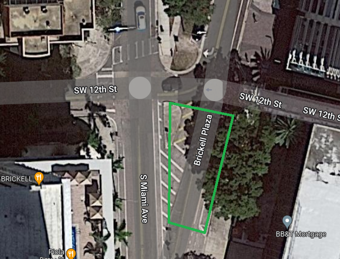
- The intersection of SW 12th St. and Brickell Plaza. This is an interesting and underutilized piece of public ROW. It could be redesigned to make it safer for pedestrians while carving out space for a small public plaza. NYC and DC did several similar redesigns
- Brickell Key Dr. The faded sharrows are a nice touch but not enough. Perhaps change to a 2 lanes east, 1 lane west configuration and build a protected cycletrack on the bridge.
- Back to the Underline: The pedestrian signals between each block segment are actuated, and long “Walk” signal wait times are a problem throughout the park. I see a lot of pedestrians crossing against the light after waiting for what seems like forever for the signal to change. The signals should be on recall (fixed), and the signal timing prioritized for high pedestrian/cycling volumes in the park.
- Miami Ave. is Brickell’s Main Street, but unfortunately it’s still not very bikable and the sidewalks are often congested. Traffic is still faster than it should be because of its one way configuration through the densest parts of the neighborhood. A few options to improve it:
- Convert it to 2 way operation. This will slow down traffic, allow more cyclists to bike in the street due to slower traffic, and make neighborhood navigation simpler for drivers.
- Long term, convert it to a woonerf similar to Flagler St. in downtown Miami. This might involve reducing it to 1 lane with pull off areas for ride sharing and deliveries in order to maximize pedestrian space.
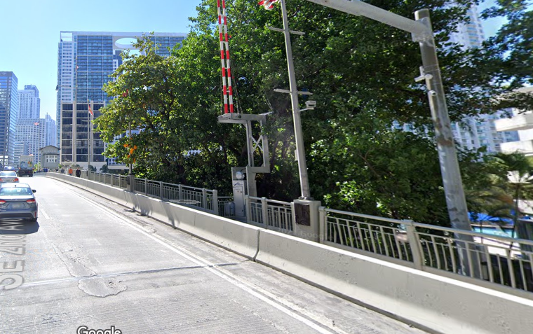
- Speaking of bridges, Brickell Ave. and S. Miami Ave. bridges should have protected bike lanes. This means a concrete separator between the traffic lanes and the bike lanes, and not between the bike lane and the sidewalk. The sidewalk widths should also be widened. With an increase in development, I see a lot more foot traffic on both bridges.
- Why are the sidewalks so narrow? Why are there so many scrubs in weird places? I understand resiliency and stormwater management issues, but in dense urban areas, the priority should be on tree canopy and maximizing sidewalk widths, not randomly placing shrubs where people need to walk. The regulations guiding new sidewalk construction in Brickell should be rewritten to maximize usable sidewalk space.
Brickell has a lot of potential, but there should be a long range plan for the neighborhood to improve pedestrian/bicycle infrastructure and traffic safety given recent population growth. Automobile traffic should be de-prioritized in the interior of Brickell, and through traffic should be diverted to the perimeter of the neighborhood. Almost all trips within Brickell have the potential to use sustainable modes given its density, transit access, and variety of land uses. Enabling these modes is a solvable problem and much less expensive than road widenings and coffee in Brickell (well, almost).